Directions to Donnell Pond
Get to Ellsworth, Maine. Follow the signs for Rt. 1 and Machias, taking the left at McDonalds.
After about 5 miles, just past the chain saw art place, look for the Tideway Market. This is the second to last stop for beer. The chicken tenders are pretty tasty.
Turn left onto Rt 182, or the Blackwoods Road. Go just over 6 miles to the Franklin Trading Post, the last stop for beer, water and chips and not much more.
Continue on. Turn on to the Donnell Pond Road, on the right about 1.2 miles past the Franklin Trading Post. The main road takes a hard right at the beginning, then it will turn from tarmac to unpaved after a bit.
At the big fork either go left to get to the boat landing and its parking lot or go right for my camp. You will go past blueberry fields and then into the woods.
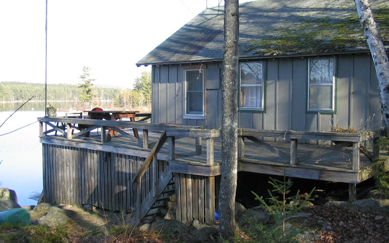
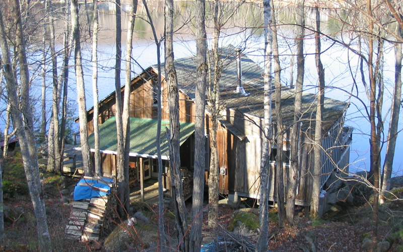
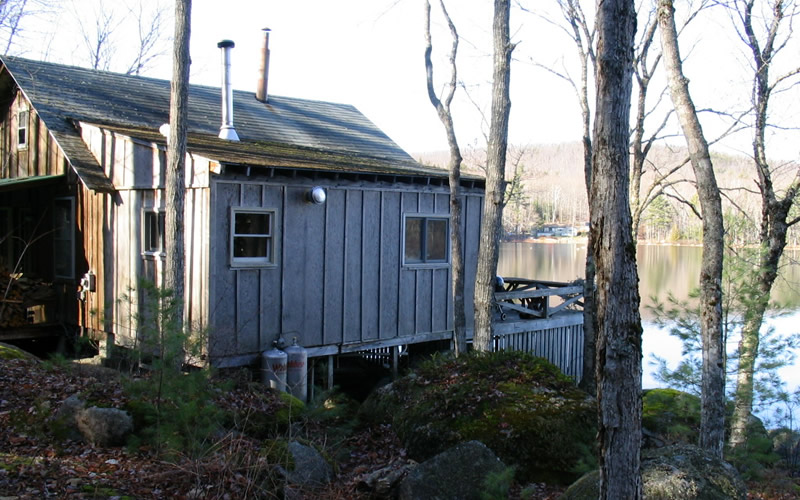
Always bear to the right (except in the bb fields) and drive 1.6 miles, going SLOWLY when you reach the killer hill. After another .3 mi you will come to the camp, which is just past the Sanborn camp. Park on the right. I have a blue honda FIT, there may be a black Honda or white minivan. We are the fourth camp from the end, if you overshoot, and the only one with parking on the right.
Marty email -- martywmaine at hotmail . com -- my new email address or marty at donnellpond . com
camp phone 565-2117
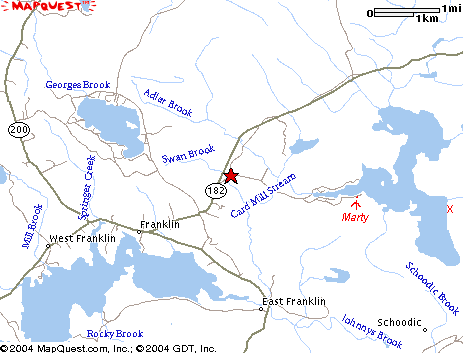
If you are paddling, Redman Beach is two miles from the boat landing, a straight shot. My camp is on the right, just before the lake opens up. Look for the little island; we are on the shore next to it.
Google Map from Ellsworth to Donnell Pond
Hiking Trail Map (pdf)
The Smith's
PO Box 83
Franklin, ME 04634